Archive for the ‘exploration’ Category

Take the tour.

September 18, 2023

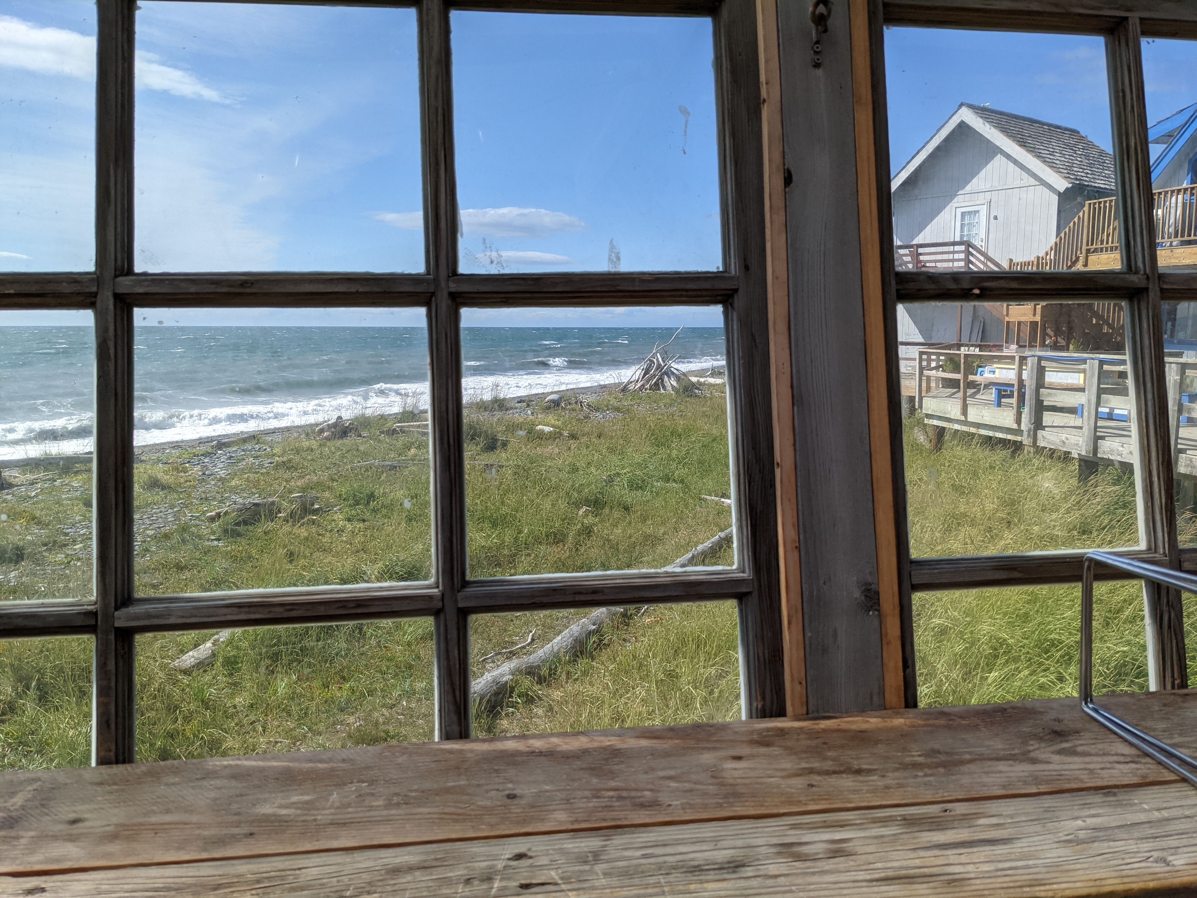
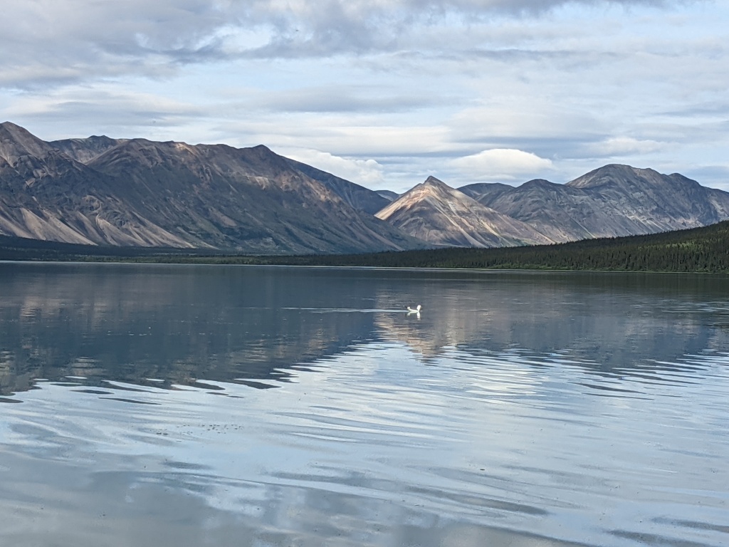
My life philosophy has changed, dramatically. I no longer believe that meandering through a foreign city, a new museum, or an unfamiliar bike park is worthwhile.

Of course I continue to do those things, but it’s the meandering that’s changed. I’m now on the tour bus.

It turns out that reading the placards next to the paintings in museums doesn’t provide the same illuminating (and often humorous) context that a docent provides. Nor does wandering a city, staring up at the buildings and statues. The same goes for mountain biking — after years of riding alone on self-guided explorations (or the same old, same old trails) I’m finally embracing group rides.

The first time I realized the difference in depth and appreciation that a tour can provide was when we visited Versailles, in France. My daughters loved this stop on our trip, more than a decade ago. Purely by coincidence our wandering around the opulently overstimulating mansion matched that of an organized tour group. We overheard the tour director talking about the paintings on the ceiling and who was added (or subtracted!) according to the whim of the artist and the person’s popularity. That was fun, so we proceeded to the castle of Neuschwanstein, in the Alps, and took the tour that detailed the former owner’s peculiarities. Knowing more about the history added great depth to our visit and plenty to chat about on the Autobahn afterward.

In Peru, my companion Grace insisted on a tour of Cusco, the city high in the Andes where we stayed before and after visiting the ruins of Machu Picchu. Along with discussing the architecture and various conquerors who took all of the gold from the former capital city, we were treated to a cooking class (I still like to make the chicken and potato dish for company) but my favorite part was the salsa dancing. About a dozen of us, all in hiking boots, attempted to stomp our way through a dance lesson on the second floor of a very old building. My utter lack of rhythm, the wall of mirrors showcasing the absurdity of the event, and being able to see through the floorboards of the creaky old structure just added to the flavor of the trip and expanded the experience beyond the hiking we did.

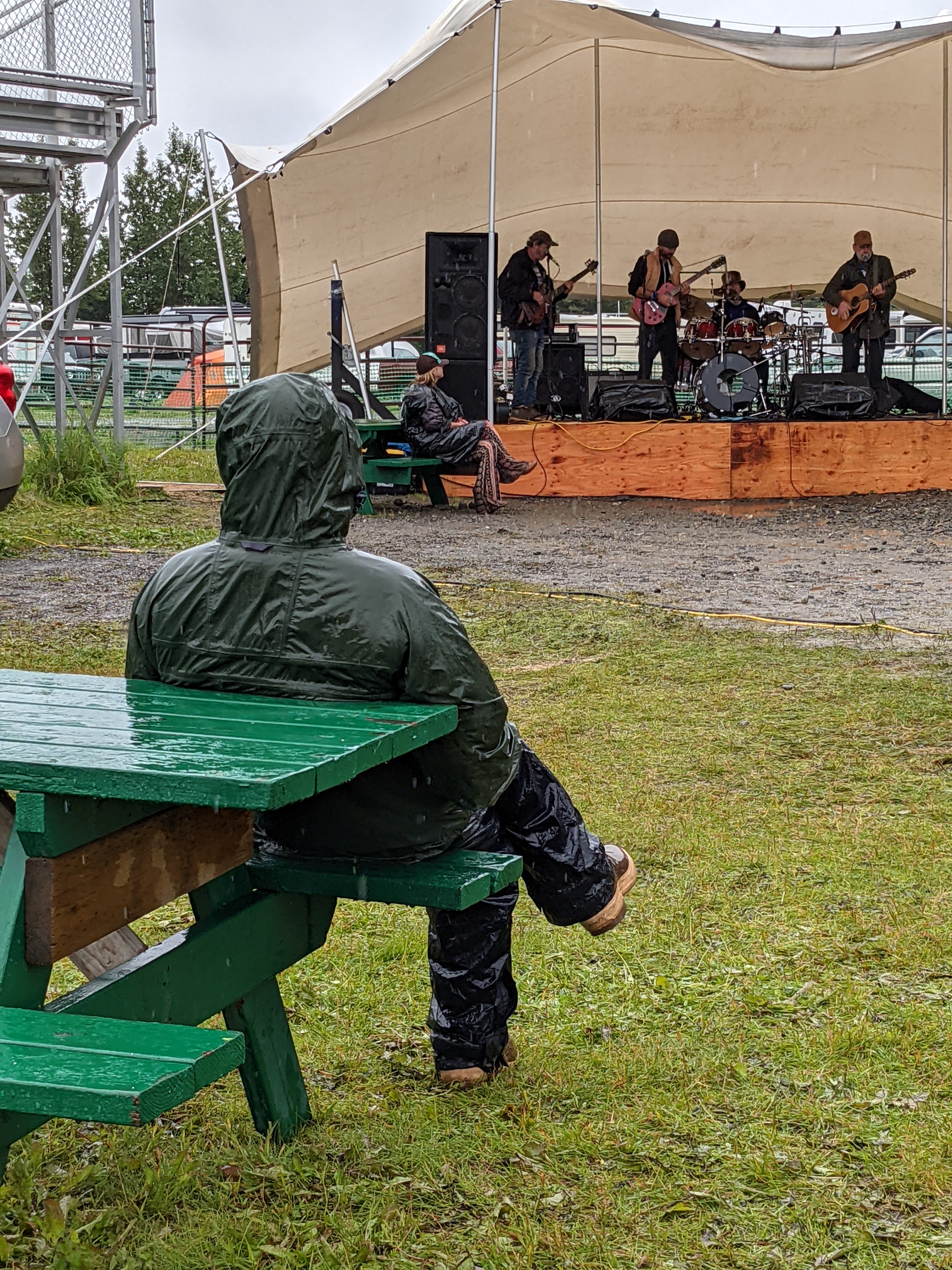
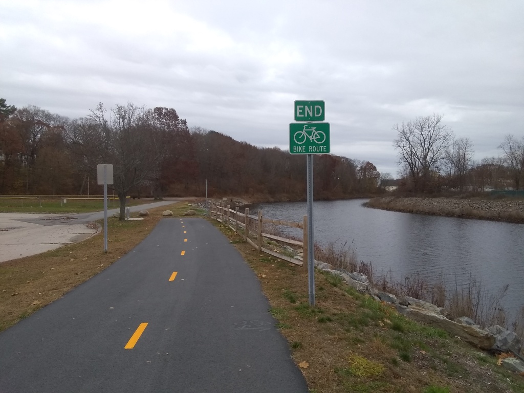
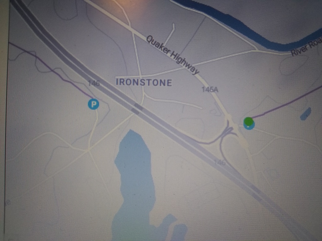
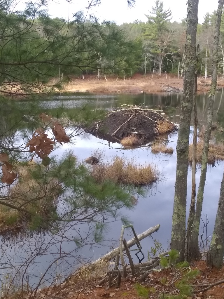
Group bike rides are similar to museum tours: you get the inside scoop on trails that you might not otherwise ride. I skipped out on these events years ago after a couple of bad experiences (once, in Lynn Woods, I took off with an “intermediate” level group but should have known something was up when most of the 30-something guys were wearing body armor..). Now that I’m old enough to not give a damn about looking like an idiot or being somewhat slow I’m happy to crank alongside anyone else who shows up. It started this summer when I heard about group rides at the state park where I practically grew up — I was not at all familiar with the trails for biking there and needed to know. What better way to learn than a guided tour?

The group of 20+ seemed intimidating. Only four were women. I expected them to be speedy and I was right. But I didn’t hear or experience negativity directed toward those who were slower or had trouble with obstacles. I was a little too busy with maneuvering quickly to pay much attention to memorizing the trails but that’s okay, I had a great ride. In fact, I think I went home with a better appreciation of the group than the terrain.

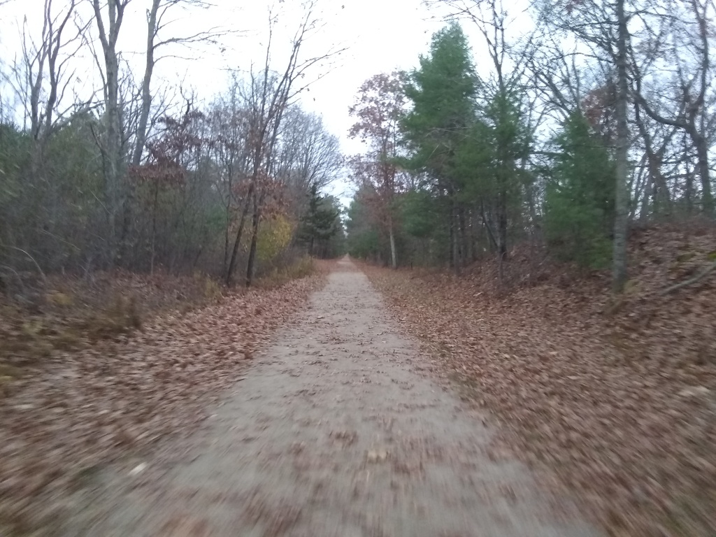
Just to prove that wasn’t a fluke event, I did another group ride this week. There was about the same male-female ratio (5:1) but this time I realized I was assuming the men would be more experienced riders. Whoa, pump the brakes on stupid assumptions! It turns out I’m just as experienced and skilled as most of them — I just have a self preservation instinct that kicks in and prevents me from doing dumb stuff that is likely to result in injury or bike damage. It seems the guys don’t have that (just kidding, I simply prefer to keep my wheels on the ground while they scaled ledges and dared gravity not to interfere with their descents). Even better, I was exposed to trails I never knew where there in my own backyard.

One might not think that group rides make that much difference to a rider’s abilities, but I disagree. I love being tested, and I’m amazed each time I push through an obstacle without first slowing down to ensure it’s do-able. In these woods that means clearing rock gardens, going over instead of around small boulders and logs, and thinking even faster on the go when approaching new obstacles. Every time I clear something or roll over a boulder instead of going around it, my skills expand tenfold.

I’ve ridden alone for years, growing my skills inch by inch rather than by leaps and bounds. This is an epiphany. Nobody cares that I’ve advanced lightyears in my skills and abilities — except for me. But it matters.

Solo sailing and leveling up

September 8, 2022

I gathered a bunch of snacks by the companionway door, put a bottle of water and a couple of store-bought iced teas with them … and a pee cup. I was off on my first solo coastal sailing trip, from New Bedford MA to Newport RI, not nervous as much as wary that I had likely overlooked a few details. Like having my handheld VHF nearby. At least I had my PFD on (for the first time on my 10 day boat-based vacation).

Sure, this isn’t the solo around-the-world voyage of Joshua Slocum (pre-1900) but it’s an important first step for me. I bought the sailboat last summer and have learned a LOT. It challenges my decision to seek experiences that expand my world and test my skills. The first step was deciding not to wait for someone to have a day off to sail with me.

When I told my yacht club’s salty commodore that I planned to sail to Martha’s Vineyard, he said, “That’s more sailing than most people in this club ever do!” But why own a boat if you don’t use it to go to the places you love? So with John’s help and support Esmeralda made it to the Vineyard in a casual, three-day trip punctuated by a moment of horror when in Wood’s Hole a megayacht’s wake broke over the cabin top. But that was soon forgotten as we had an amazing vacation: going to concerts, skinnydipping, stargazing on the deck, and biking around the island all week.

When he and Grace had to go back to work on Monday I took a deep breath and stepped up. I wasn’t going to wait for someone to meet me in New Bedford. I’d done this leg along the coast several times and it was pretty straightforward (just once with Grace on Esmeralda but many times in the past with my ex-husband on our Catalina 36, Ceilidh). In fact it was probably the best opportunity for a solo trip. And I have to thank all of those who participate in the Women Who Sail social media page that boosted my confidence.

Leaving New Bedford went like clockwork. I got my fenders and docklines stowed like I’d done this all before. I got through the hurricane barrier as the incoming tide slackened. I knew my route. I reassured myself this was just like sailing with Grace or John or Terry because I was still calling the shots. Of course I know how to sail it by myself. And nobody argued with me.

After turning into the wind and raising my mainsail, I pointed Esmeralda, my Catalina 25, down the channel toward the west end of Buzzard’s Bay. I had put a lot of thought into my route given that the NE wind that blew us into New Bedford the day before had clocked around to SW, directly on the nose. There’s nothing that can be done about the wind but to plan accordingly. I hoped to cross the bay with the wind on a starboard reach, then turn west and keep it just to port.

It was a Monday, so boat traffic was light. In fact I saw no commercial ships to speak of, just a few large pleasure craft (sailing and powering). As I neared the Elizabeth Islands I considered going through Robinson’s Hole, the gap between two of them, to get south of Cuttyhunk and make Newport more of a straight shot west. I still wish I had. Instead I stayed north of Cuttyhunk and got a bit hung up on the Hens and Chickens rocks outside of the Westport River. I just couldn’t steer southwest enough – into the wind – to clear them, so I had to tack close to Cuttyhunk to get around them. That took a bite out of my allotted travel time.

Traveling alone was pretty boring. There wasn’t much to distract me, and the coastal milestones crept by at a glacial pace. I’d avoid looking to the north as much as possible so I didn’t have to see that the same town was still in approximately the same place I’d seen it 15 minutes before. I had to remind myself that I was making progress.

The wind wasn’t as strong as I’d hoped but the waves were small. I had steered through some gusty stuff getting the boat up to 7 whole knots a few times (woohoo!), and wanted more of that to make the passage quicker. I knew the tradeoff would be more stress but once the hours started to mount I worried about getting to Newport while there was light enough to navigate. All of the currents were with me but my rig just isn’t tall enough to push my boat very fast when there’s less than 10 or 12 knots of consistent wind. I was averaging about 3.5 kts. The trip would be just about 40 nautical miles. And I was relying on my phone for the entirety of my electronic navigation.

I hated to do so but cranked up the engine before I reached the Sakonnet River, east of Newport. It was nearly 5 p.m., I’d been out there about 7 hours, and I knew I still had some distance to travel. The push from the engine, in addition to the sails, put me at or over 5 kts. I got to the east entrance to Newport around 7 p.m. with a big tanker looming over my left shoulder. It was dusk. So of course this is when my phone froze and I had to dive below to turn on my running lights. That way I’d be legal in the eyes of the Coast Guard even if I got crushed by the massive ship bearing down on me.

Then I had to find and secure my mooring in the dark. So. Much. Fun.

In the middle of the channel between Jamestown and Newport I looked up and saw a sliver of moon over the fading colors of the sunset. I had to grab a photo to remember that night. It turned out beautifully.

My daughter Paige and granddaughter Alice met me in Jamestown for a sleepover on the boat. Rowing them out to the mooring distracted me from the feeling that I still wanted to vomit from the stress of the trip.

As we rocked to sleep my headache dissipated, my shoulders relaxed, and my arms stopped aching from the day-long death grip on the tiller. I laid there feeling full – of happiness or pride or something else I’m unfamiliar with — knowing I’d done it.

Finding My Free Spirit – and a UFO?

June 27, 2022

When I heard the engine start I jumped out of bed and pulled my pants on. Stumbling around I had trouble locating my glasses. The floor was definitely moving – and no, I wasn’t under the influence.

When I arrived on deck after my brief nap the captain was at the helm. “Thunderstorms over there,” he said. I looked across miles of empty dark ocean to see the clouds flicker and go dark again.

Then he instructed me to hold the course while he went out on deck to wrestle the whisker pole off the genoa, which is the big “accelerator” sail in the front of the boat. We needed the ability to bring in that sail if the winds got crazy. I held my breath, running through the list of steps to take if he went overboard.

It was a lot to take in, especially while still waking up. Then I had to wait patiently for him to casually coil some line and secure it to the “granny bars” at the mast before making his way back. It was clearly his thinking time, when he was looking ahead to our strategy for dealing with changing weather. I wanted action — NOW! — and had to relearn that impatience is rarely the way to deal with a situation.

Crewing on sailboats is something I’ve always wanted to do. As usual I only thought about the positive outcomes or experiences. I tend to forget that failure and hardship are the best teachers – and that I would meet them along the way.

This story is not about my boat, which is a smallish 25 foot Catalina that definitely is not going to be out sailing miles offshore in the middle of the night. This is about Free Spirit, a 55-foot Tayana, which I was lucky enough to crew on. We were two days out of Stuart, Florida, somewhere 600ish miles north, 60 miles off the Carolinas in the Gulf Stream. We were heading home to Massachusetts, a trip of about 1,100 miles.

A year ago I chucked portions of my life in order to rebuild it with lots more opportunities for exploration and excitement, and this was a big one. I was aware rebuilding it wouldn’t be easy, but I don’t want easy. Easy is living in Florida where there are literally no hills, no steps – life on one level! Everything is air conditioned and soft and comfortable, with few challenges, except perhaps where to go for happy hour. That’s not the life I want. Having the ability to jump into this crew position and to spend time with people doing fun and challenging things is more than worth it. I freed myself from the things that were holding me back and dove head-first back into life. I don’t regret it.

Last year’s trip to Alaska and buying my own boat were the first steps of my new life. Offshore crewing checks another box.

When the sailing was boring – just the indigo blue of the water and pale blue sky in sight – I thought about how few years I have to chart my own course. A decade, maybe two? It doesn’t seem like enough. Fortunately Free Spirit’s owner is a good role model, a liveaboard sailor well older than I am who has had many careers and is always looking for new challenges. I need to hang with more people like him and fewer who are full of negative-nanny advice while devoid of actual experience.

As my brother says, “tell her ‘no’ and she’ll do it twice!”

After just a few hours on Free Spirit I knew I could trust this boat and its captain. It’s solidly built and well-equipped. The captain, with whom I spoke many times before our meeting, is experienced and safety conscious. The boat is his home so he treats it well by using high-quality components and doing things like checking engine filters and fluid levels regularly – proactively, before anything goes wrong. I asked to crew so I could learn about sailing beyond my comfort zone, and there we were, at 3 am, many miles from my comfort zone.

While I always thought I wanted to live aboard a large sailboat, I had second thoughts during this trip. Many of the lines used to control the sails (and there are so many) mostly do not lead back to the cockpit. The drums for securing the mainsail and other components like the whisker pole are located on the mast. That means a lot of the work has to be done outside of the cockpit, even when far offshore and in iffy conditions. When conditions get concerning for a boat this big (55 ft) it’s time to listen to your gut and pull back. Still, between the captain’s calm demeanor and the ship’s sturdiness I never felt unsafe.

When he left the cockpit, the captain clipped his harness onto a lifeline and started walking (carefully) to the mast, holding onto fixed points as he went. The deck was all lit up by halogens above, on the “spreaders” that extend from the upper mast like skinny wings. The dark ocean was rushing past and we rose and fell with the swells. Lightning showed through the clouds every few seconds. I couldn’t help but think about the 84-foot mast and how we were the only boat out there for miles around, essentially a lightning rod.

Tired and wary of the pitching deck, he managed to unhitch the 8-foot aluminum whisker pole from the edge of the genoa, about 10 feet above the deck. I started breathing again when he was back in the cockpit beside me. But that wasn’t the end of the challenges. It was still the middle of the night, and the conditions were deteriorating. Ships were showing up on the radar around us. It was tense, and would be for many more hours.

Sailing can be hours of boredom punctuated by moments of terror. That was true for this trip. We motor-sailed a lot due to low wind, which is monotonous. Then in the middle of the second night we ran up on a couple fishing boats (seen on radar) that we had to steer around. Fortunately the captain was alert and took it all in stride.

Not long after, something really interesting happened. We both saw a red light cross our path from west to east. I was alarmed at first, thinking it was a freighter, but it was moving too fast and, as it approached, it was well above the water. My second guess was a helicopter. I said that to the captain, who agreed but noted there was no sound associated with the light.

Because it was pitch black out there, we had no way of guessing how close the light source was to us. It appeared suddenly and didn’t change size, so I assumed it was on a steady course west-to-east. Then it got weirder.

As we watched the light move across our path to the east it suddenly bounced up several degrees, bounced again, and disappeared in the dark.

We talked about it afterward, trying to figure out what we’d seen, but had no explanation. The next day got too interesting, weatherwise, to revisit the strange event, and it was forgotten. UFO? Maybe just another good sailing story.

The last time I did a blue water (open ocean) passage like this was about 12 years ago, on the return leg from Bermuda to Annapolis MD aboard a 60-foot Swan, a luxury racing yacht. We set the course in Bermuda and basically didn’t touch the sails for a couple days. Unfortunately I was on the dogwatch in the middle of the night when we approached the Gulf Stream, notorious for big waves and ocean-created weather systems. I could see a thunderstorm in the distance, and we were sailing directly into it. I alerted my crewmate who opted to do nothing. When we entered the storm and squall winds laid the boat on its side the captain emerged from his cabin in his skivvies and adjusted sail with some choice words for the crewmate who didn’t act. We continued on, that being the most exciting part of the trip.

My trip on Free Spirit offers more to remember.

Our bleary-eyed scramble to control the sail lines and stay on course was just a taste of what the day would bring. The wind and big genoa sail were overpowering the wheel: I couldn’t keep the boat from doing 360-degree spins and couldn’t understand why the compass would start spinning and I had no control at the helm. It was maddening. By 10 am, both exhausted from navigating through steep 10 foot waves and wild wind gusts up to 40 knots, we decided to head in to Morehead City NC rather than push through the unpredictable weather any longer. High winds had blown apart a heavy snatch block that one of the big genoa lines ran through. That was a sobering sight. I’ll always remember that line whipping against the deck but I had no idea of its power until I saw that broken component.

After 3 days of short watches and napping in the cockpit we were aware that we didn’t have the energy to deal with situations like that much longer. The forecast was for more of the same squally, wind-against-waves weather.

The high seas didn’t abate until we were within an hour of Morehead City, which is near Beaufort, NC. We’d made it over 650 miles. But now we’d hunker down at anchor and hope for a clear weather window to continue the trip north.

After we rested Beaufort was fun, all beaches and barrier islands and wild ponies on the shore. We spent a couple days exploring and looking for a weather window but in the end I rented a car, got on a flight, and returned to reality, reluctantly.

I had a taste of Free Spirit and will be back for more.

Best Hikes in Alaska — Must-Have Gear

February 3, 2022

Alaska is remote and unfamiliar to many of us, so we feel like we have to take absolutely everything we might need just in case there’s no place to pick up gear when we get there. That’s a mistake. I suggest going as light on gear as possible. In fact, my trip improved the minute I dumped a deadweight boyfriend!

Seriously though, my hiking partner and I planned and trained and made lots of lists with the mindset that we’d be far out in the wilderness without resources. That’s not a bad thing, because we were both looking forward to completely unplugging from society and getting serious about our gear helped us cut ties, at least temporarily, with our normal lives.

Anchorage was our jumping off point for all three legs of the trip. It’s a well provisioned city, including a large REI store, some used gear stores, and a big Bass Pro shop. Unfortunately we went shopping almost as soon as we arrived. Bass Pro supplied a lightweight daypack for me, lots of freeze dried food, and monoculars for sighting wildlife. Oh and yeah, bear spray.

The food and daypack were really necessary as the pre-trip packing fell a bit short. We planned for four days at Twin Lakes where we’d be hiking and there was zero opportunity for scrounging provisions. We had one large bear safe for storing food, so everything that had any scent (think toothpaste, chapstick, lotion, and all foods) had to fit in that container. It seemed big when I first got it but planning for four days of meals for two of us made it shrink quickly.

Worried about taking the right gear? Beyond the obvious, gaiters were great to have, day packs and bear spray were a must, and a frying pan would have been nice but we were able to borrow one rather than having to carry it.

Our food planning wasn’t stellar. One day after a long hike I actually ate dry tuna mixed with peanut butter. Mmmm! I got anxious when counting our tiny sachets of instant coffee. We shared a large freeze dried dinner each evening. Fortunately we also brought fishing poles and reeled in two good-sized fish to be cooked over the fire. That made a big difference in stretching our food supply as well as just giving the freeze dried food a break. It gets old real quick.

What kinds of things did we pack and bring?

MSR Pocket Rocket stove, 2 large white gas cans (plenty for 4 days), one pot and one set of cups/bowls.

At least one large Mountain House freeze dried dinner for each night.

A large “tube” of peanut butter (flexible packaging allows more to fit in the bear can).

Lots of little instant coffee sachets and a ziplock bag of instant capuccino.

Foil packets of tuna.

Rice, plain oatmeal in ziplock bags (cooked oatmeal mixed with peanut butter is a great breakfast)

Miscellaneous Larabars and protein bars (plan for 2 each per day)

“Freeze dried” granola with blueberries for breakfast (best with warm water!).

What’s not here? Bread or crackers. They just couldn’t be squished into our food container. Most fruit and vegetables were also impossible to take (but we’d try to make up for it when in town). Some dinners had freeze dried veggies but our favorites were Pad Thai and Lasagne, as both were flavorful and plentiful. Thumbs down for any freeze dried egg product for breakfast. Yuck!

Eating this way for a couple weeks changed me. There really was no snacking unless we were on a long hike and nibbled on an extra LaraBar along the way. We were ravenous when we got back to camp, ergo the tuna/peanut butter combo was fine with me! We drank tons of water. Due to the veggie shortage that’s what we ate in town — so I was feeling really trim and fit by the end of the trip!

Clothing/Shoes

Short pants aren’t really a thing in Alaska even in July. I think we wore the same basic hiking pants/shirts day after day but changed socks and underwear more often (right there you can save space and weight by skimping on clothing). The temperature was also pretty comfortable until we got wet and cold on the Kenai Peninsula. Both of us were pretty happy with our regular hiking shoes/boots but a pair of crocs or water shoes for in camp is a great idea too.

Key items:

windbreaker/rain jacket with pit zips for ventilation

windblocking fleece (full zip)

polypro shirts and ripstop hiking pants

knee-high gaiters

non-cotton socks and sock liners

non-cotton underwear

hats (amazingly we both had headnets for bugs but they weren’t a problem so we never used them)

Are ankle-high hiking boots necessary? Maybe not. I wore some Merrell hiking shoes with an integrated “sleeve.” They’re super comfy and keep dust/pebbles out BUT take a while to dry. The gaiters were a solid addition because bushwhacking is a significant part of hiking in AK.

After the dance party in the mud that was Salmonfest on the Kenai Peninsula I have been jonesing for XtraTuf boots.

Tents

The Sorting Hat tent (an ultralight AliBaba tent that I got used for about $100) earned its name on this trip. It’s a pyramidal-shape one-person tent supported by a trekking pole in the center. No joke it looked just like the Harry Potter sorting hat as it swayed in the breeze on the shore of Twin lake. It was also a bit temperamental. While it was nice to have the vestibule space for my pack the mosquito netting seemed extra-flimsy (especially when there was a porcupine on the other side of it). Thanks to its size and ultralight weight I will definitely use it for bikepacking but the jury’s out for future hiking/adventure travel.

The second tent was a one-person REI Quarter Dome. It’s easy to assemble with just one pole structure and can be picked up and moved as long as there are no stakes in the ground. It seemed sturdier than the sorting hat as it maintained its shape under all conditions and was easier to dry out too. (Because it was tough to stake in certain soils, the sorting hat tended to collapse on itself in rain and layers stuck together given its flimsy shape/construction). While I love it, the materials is just a bit bulky for carrying it for backpacking or bikepacking.

Bags/Pads

My 20 degree mummy bag was sufficient but the piece of sleeping equipment that made the trip amazing was my pad, an inflatable Sea to Summit with diamond-shaped baffles (that’s key for side sleepers!). I slept better than I ever expected and had little or no hip pain at night. The pad was worth every penny of its approx $150 cost. My hiking partner had a closed cell accordion pad, which looks like it would be annoying to carry (strapped on the outside of his pack) but again, as long as you’re sleeping well it’s worthwhile.

Emergency gear

Bear spray — it’s a given in Alaska, but we never needed it. We bought ours at Bass Pro when we arrived, (of course you can’t take it on commercial airlines), each can is about $50. After a friend told a story about an overzealous visitor spraying it into the wind and clobbering him with the horrible stuff (instead of the bear), we were particularly cautious. But we carried it everywhere. (Read my post about Denali for the reason we didn’t see many bears.)

Garmin InReach — I got one of these devices used from Facebook Marketplace for less than $200. It was a great purchase. The $15/month subscription can be turned off when not needed, which is a plus for me. The InReach allows you to track your hikes and to communicate with family members as well as call for help in an emergency situation even when you’re well out of range of cell phones (but don’t expect Seal Team 6 to show up in minutes, it’s more like the SAR team arrives in a few days to look for what’s left of you). It will be useful on my boat or anywhere I plan to go. HOWEVER, don’t give the contact number to any crazy future exes. Trust me. The last thing you want when you’re hiking to a glacier is hearing the “beep” of incoming messages. And they cost you.

Packs

I spent some time obsessing about the pack I should get: not too big or too small, something with a good belt system.. something I could afford without it being more than 20 years old. After obsessing over details on GearLab.com I found a used $50 REI women’s pack, about 60 liters, that fit well. But I hardly used it! Why? We got everything nicely stored in our packs to fly from Anchorage to Port Alsworth then to Twin Lakes — then we put the packs down and used day packs for our hikes. Same at Denali. Same in Homer. In fact I used this pack more in New Hampshire on training hikes than I did on my entire trip. Keep that in mind.

First aid kit — get one that fits in your daypack and carry it. We didn’t need first aid on this trip but I often add Gu gels to my kit, and those have come in handy on hot mountain hikes.

Water filters — We each carried large Nalgene bottles, and I had a LifeStraw too. My Sawyer mini was just okay for filtering stream water for drinking. It’s a slow process. The Sawyer bag that you scoop the water into is small, so the process of scooping, attaching the filter, and squeezing into your drinking reservoir over and over is laborious. Fortunately it was only really needed at Twin Lakes where there was no dedicated water source (we had a rushing glacier-fed brook between the campsite and the Proenneke cabin). I refuse to risk giardia infection so I filtered everything but my partner drank some unfiltered and lived. I also had water purification tablets in case things got really sketchy but I never used them.

Conclusion

I’m going back to Alaska, and soon. There’s so much to see there and I love being off the grid (heed my warning above about the InReach!). Don’t stress about your gear, just go. You’ll figure it out.

Best Hikes in Alaska — Part III

December 31, 2021

I don’t want to start typing this blog post because it means I have to move on from my Alaskan adventure and find new material when in fact I just want to relive most of that trip again and again. Alaska is a spectacularly beautiful place. My nearly 3 week trip barely scratched the surface of things to do, and we managed 50 miles of hiking, catching fresh salmon, tangling with a porcupine, my first float plane flights, giggling our way through a Salvation Army store, lots of laundramat time, dancing in the rain at a three-day music festival… whew!

So, if you love hiking and want to see the gorgeous Alaskan scenery, you can go just about anywhere in the state to find trails. Literally. We were sitting at the bar in a Mexican restaurant in Anchorage one day when a woman suggested we hike Flattop Mountain, very close by. It was a short evening hike but, again, just amazing as the city skyline played peek-a-boo through the clouds.

That said, if I go back (and I will) I have two hiking destinations on my radar: Kachemak Bay State Park, across the sound from the Homer Spit, and the Seward area. Here’s why:

  1. Kachemak Bay State Park was nearby but remote enough to be an adventure. It required booking a ride on a small ferry across the bay to the trailhead, on a rocky beach. When the boat left we felt like the last three people on earth. It was wonderful. We did several miles across a floodplain to a river, where there was a fun self-propelled trolley to try out. Then we proceeded to a lake with actual icebergs floating in it, thanks to a nearby glacier. After freezing on the lake shore (the breeze coming over the icebergs was truly COLD!) we went over the “saddle” to an inlet deeper in the bay, which felt absolutely tropical. In all the 7-mile, 3-hour hike was a combination of all of the best things about Alaska, from cellphone-free conversations with my daughters, spectacular scenery, a “just right” distance, and a feeling of accomplishment for venturing out into the Alaskan “wilderness.”

If you venture across Kachemak Bay, just remember to make sure your ferry captain sets a time and place to pick you up at the end of the hike! We were on the other side of the peninsula at the end of the hike and got a little nervous waiting for the pick-up (but he showed up, whew!).

2. Upper Kenai near Seward: this area was so stunningly beautiful that it alone is the reason I’m already planning to go back to Alaska. No joke. I found out about the Primrose Trail by evesdropping on a family chatting on the Denali bus. Because I’m a nosey journalist I have permission to ask people questions about anything, and I do. I heard one of the adult daughters talking about Seward and asked her about the best hikes in that area. She tole me about Primrose and I’ll forever be glad I spoke up. What a hike.

By the time we were heading back to Anchorage there were only two of us: myself and my youngest, Andrea. We found a roadside state park campsite on the way to Coopers Landing after about three hours driving north from Homer, cooked the rest of Evan’s salmon and slept in the truck. It was close enough to the Primrose trailhead to make the hike happen (the campground at the trailhead was small and already full). Primrose is not the most difficult hike but we did a 14 mile out-and-back that was plenty. The scenery, flora, and distant glaciers in surrounding mountains were almost too much to absorb. I’ll let the photos do the talking.

Are you ready to start planning your trip yet?

Best of Alaska: Salmonfest

December 24, 2021

When planning a trip to Alaska, most people zero in on an accessible area with a lot to do. The Kenai Peninsula is that kind of place. It was also the last part of my three-legged vacation way up north last summer. Do I need to add that it’s a spectacularly scenic area too?

This part of my trip was planned almost by accident, serendipitously. When my travel buddy and I were first kicking around the idea of a trip to Alaska he said he always wanted to see Dick Proenneke’s cabin at Upper Twin Lake in Lake Clark National Park. Thusly that remote spot became our first destination, which was great because it’s so hard to get to. The second leg of the trip was driving up to Denali National Park and camping there for a few days. (See separate posts on exploring those destinations.) While it was also beautiful it didn’t bowl me over. Maybe Lake Clark set the bar too high?

Salmonfest was the reason we chose the Kenai Peninsula for the last portion of the trip. It’s a three-day outdoor music festival that benefits the folks fighting against the Pebble Mine, a lightning rod of a project that would destroy an important salmon run in Bristol Bay, AK. It was also a convenient opportunity to get my youngest two music-loving daughters to Alaska (while airfare was cheap).

So, from Denali we drove back into Anchorage the day the girls (Grace and Andrea) were arriving. And dammit, didn’t it figure that there were NO hotel rooms available in the city that night?? Really, I tried every place that came up on searches of the city, from the ritzy (few and far between) to the fleabags (there are plenty!) and came up empty. We took them out to a midnight sun dinner at Humpy’s in Anchorage then drove into a sketchy “campground” on the outskirts of town with a beautiful view of some truck depot and a train track. There we unloaded a bunch of stuff from the adventure vehicle onto the ground, covered it with a tarp and hoped no bears would find it. What a nice welcome to Alaska for the kids: rustic camping on Day One. It would only get… more interesting…

The drive to the fairgrounds at Ninilchik, on the Peninsula, was about three hours from Anchorage, following the edge of Cook Inlet. While it wasn’t all beautiful vistas there were plenty of glimpses of rivers and snow capped mountains to make me want to go back and explore further.

Salmonfest: The music festival was groovy, in a throwback-to-the-seventies sort of way (for me). It felt like Woodstock with everyone dancing in the mud then sleeping in tents in the fields across the street. And unfortunately it was very wet. Given that the temperature so close to the ocean was rarely above 60, it became one of those bone-chilling, wear-every-layer-you’ve-got (or your unicorn outfit) weekends. People actually cheered when the sun broke through the clouds a couple times. Fortunately the locals appeared to be well prepared in their Xtratuf boots and rain gear.

While the music was fun (four stages that ranged from acoustic folk to a Colorado band called the Boroughs doing Prince covers) being out in a cold drizzle all day was hard. I was happy to find that our Deep Creek fishing campsite ($25 per night within walking distance of the festival) offered HOT SHOWERS!! I admit to being over 50 — I left the “kids” took a shower and crashed in the truck by 11pm while a laser light show beamed heavenward from the fairgrounds.

One cool thing I learned about Alaska from the others at the festival was that these are tough people. Very little got them down, whether it was wading through huge puddles or dancing in the cold rain. And everyone seemed to know everyone else. I could get into that kind of community.

After the festival we proceeded down the peninsula to Homer, a waterfront community that is usually host to many cruise ships but thanks to covid there were none. Homer is centered on the Spit — or views of the Spit — the sandbar that stretches a couple miles into Kachemak Bay. The Spit is Homer’s marina, ferry port, and watering hole.

Cool tip: there’s a beautiful municipal campground in Homer proper — with views of the Spit — where you can crash for small money, like $25/night. Check out Karen Hornaday Park. Thanks to my daughter’s super cool Homer-based friend Evan we had fresh salmon cooked over the fire here, washed down with local brews from Grace Ridge Brewing.

Hiking? Was this supposed to be about hiking? Oh yeah. I’ll write more later. Stay tuned, it will be worthwhile.

Views from the Spit: kiteboarding in dicey conditions, the shops on stilts, and the Salty Dog Saloon, where we didn’t have a $1 bill for the ceiling so we posted a $100 CZ bill with a cryptic message “from the cap’n and crew of Esmeralda” — thanks Grace!

Best Hikes in Alaska — Part II

November 20, 2021

Consider a trip to Alaska — that enormous state with so much wide open space — and the planning is either overwhelming or predictable. We did both.

Our less-touristy destination within Alaska was Lake Clark National Park, discussed in my first blog post about my epic summer adventure. Upper Twin Lake there is the home of Pete the Pesky Porcupine who aggravated me for two nights, even chewing his way into my tent. This park required packing in all supplies on a float plane and preparing food over a white gas stove (MSR Pocket Rocket) except for the fish, which was cooked over a fire.

The middle part of our Alaskan adventure was spent in a rather predictable way: visiting Denali National Park, the site of North America’s tallest mountain, formerly called McKinley. It’s predictable because there aren’t so many roads in the populated part of the state, so from Anchorage you’re either heading north, toward Fairbanks and past Denali, or south, which we did later.

First we picked up our vehicle, a 2007 Toyota 4Runner. We rented it via Outdoorsy, one of those online services that helps people make a few bucks by renting out their personal vehicles. “A few bucks” in this case — for a nearly 15-year-old truck — was over $2200 for two weeks! Yes, we did. Unfortunately that’s the going rate for rentals this year (thanks, covid!) and I’m just grateful we were able to procure one that met our needs. This sucker got mediocre gas mileage, had a tent on the roof, and came with lots of supplies like a Coleman stove, dishes, and a ladder to get to the penthouse. The truck plays a larger role in Part III of my blog — stay tuned.

We needed all of those amenities when we went to Denali because … ahem … our reservations were lost. So we camped the first night in a gravel “campground” (looked a lot like a parking lot to me) along the side of that solitary north-south highway. At least there was a hot shower included in the fee.

Because my traveling partner handled the Denali details (and I’m not blaming him for the lost reservation, the whole system up there is pretty convoluted) I wasn’t fully aware that we wouldn’t drive this adventure rig to a campsite in the National Park. Oh no. That would be too simple. Instead, at Denali, you have to get a ticket on a school bus to traverse the single road that winds its way 85 miles into the park. And if you want to camp, you have to get a reservation at a one of the campgrounds on that road (or a permit for dispersed camping in the wild) and make sure you get on a properly designated camper bus to get there. Better yet, the park is managed by rangers but the campsites and transportation are subbed out to a contractor (although rangers man the info/sales sites). Yeah, what could possibly go wrong?

My least-favorite part? The bus takes FIVE HOURS to go the 85 miles into the park. Five hours. Certainly there are things to see along the way and lots of people getting on and off. But five hours was the upper limit of my stamina when it comes to riding in school buses. Yes, these bumped along just like the school buses you’re thinking of, and there’s no way to rest under the circumstances.

At one river bed the bus stopped so we could have a close-up look at a large grizzly bear (Alaskans simply call them brown bears because they’re not scared like we of the Lower 48 are). It crossed the road in front of the bus and meandered up the riverbed. The bus driver then told us a lurid story of the area being off-limits because a grizzly (oops, harmless brown bear) had attacked and eaten another bear’s cub nearby just a few days before and the park rangers were trying to determine how out of character that might be for such an apex predator. Yikes.

There were bears hanging near another designated rest stop. We all watched as a ranger yelled at hikers to come back down off a hillside because — they didn’t know it — there were a couple bears really close by and of course the hikers had no opportunity for shelter if necessary. Watching them hike down while bears were moving around on a parallel slope was like waiting to see a car crash.

So with all of this bear activity before we even arrived at our campground (Wonder Lake, the furthest one on the 85 mile park road) we were primed to see bears. Every bathroom and food vault was armored for bear deterrence. We carried semi-lethal cans of bear spray everywhere, and kept it handy in our tents at night. But we didn’t encounter any. We even hiked knee-deep through a vast blueberry patch without a hint of bear activity. Then we did a great hike.

McKinley Trail leaves the Wonder Lake campground driveway/entrance road and heads down toward the base of Denali. Of course the mountain which completely dominates the scenery is still 25 miles away, so it wasn’t a peak we’d tackle but getting close to it was cool. Between the campground and the mountain was a long stretch of glacial moraine — basically the sand left behind when a glacier melts. The scenery speaks for itself. It was a mostly flat 4 mile (one way) route with lots of little wooden bridges for crossing brooks and places where the trail disappeared into stands of conifers so perfect we wanted to stop and paint the scene. Despite the more sedate traditional campground atmosphere (compared to Lake Clark) the scenery here was sublime.

At the glacier-fed brook we saw plenty of bear tracks and enjoyed the vast, mile-wide drainage between us and the mountain. Had I mentioned that we had the most incredible weather? It was in the 80s, clear, dry, and sunny, stuff that never happens at Denali. In fact we had several days of crystal clear views of the big mountain — which is completely unheard of. (This puts us in the “30 percent club” because most of the time the mountain is shrouded in clouds and rain.) And this is probably why we didn’t see any bears or other large animals — the heat. They were undoubtedly laying low in the swampy areas to stay cool given the unusually hot weather. It was so crazy hot for Alaska that I dived into icy Wonder Lake after the hike.

Three days was both too short and too long to spend at Wonder Lake. With such stunning weather I regretted not knowing more about where to hike in this area. We hung out and met other travelers, including some who were biking in the 85 mile road (I’d prefer that over the buses!). One woman gifted me a Carl Hiaasen book to help pass the time. We spent lots of time gazing at Denali. It was such a seismic shift from the Twin Lakes portion of the trip that it was beginning to feel like separate vacations. And there would be yet another, even more different portion. Stay tuned.

Alaska Travels: There’s a Porcupine in My Tent!

November 2, 2021

Yes, this really happened to me in Alaska: I awakened one night to a porcupine just inches from my face, basically inside my tent (actually between the outer shell and the inner screen).

  1. No, porcupines don’t throw their quills. I was probably just lucky not to wake up with some in my face given the proximity but I believe you have to grab (or bite!) one of the critters to get quills embedded in your skin.
  2. They’re not dumb. Read below.
  3. Somehow in the middle of the gray Alaskan night (it’s bright there until midnight in August) I thought of shooing the porcupine away with a flashlight — they’re nocturnal, so they don’t like bright lights. That worked without actually having to tangle with it.

So, we’d enjoyed a fabulous dinner of Mountain House Pad Thai (oh yeah, the best freeze dried dinner I’ve found yet!) and fresh salmon with a friendly and fun National Parks ranger. We were WAY out in Alaska, camped at Twin Lake in Lake Clark National Park. If you saw my earlier post, we went there to visit the Proenneke cabin, which is a real Man Mecca. Lots of people have read the books and seen the self-made videos of Richard Proenneke from the 1960s and 1970s when he was building his cabin with hand tools. My adventure partner and I decided to go to Alaska just to see it — and the rest of the nearly 3-week trip took shape from there.

Two of the photos above are from Proenneke’s cabin, which you can tell is well fortified against wild animals. I wonder if porcupines were on his list of nuisances like the bears he clearly worried about when he made the food safe on tall stilts and the heavy door on his cabin?

The Lake Clark/Twin Lakes leg of the trip was the most challenging to plan as it required a bush plane ride from Anchorage to Port Alsworth, then a float plane to the lake where Proenneke’s cabin is located. There are no roads to this place, and one must be self-sufficient, so we packed in what we thought was tons of food for the four-night stay, tents, bear spray, water filtration devices, instant coffee, and the fishing rod(s) that brought us the salmon.

But you want to know WTF about the porcupine, right? Yup, I’m getting to it.

We were the only people in the campsite area for the second two nights of our stay. This was after the bear had meandered through and after we found lots of piles of evidence that moose like it there, too.

I caught the salmon and very quickly gutted it, tossing the head and entrails far into the lake. Then I even grabbed most of the sand/rocks on the beach where I’d gutted it and threw them into the water too. That’s because we’d been warned that something as minor as a fish thrashing in the water could attract bears and we didn’t want that. We had a bear proof food container (bear can) just for fishing, so we submerged the gutted fish in water inside the bear can, then weighed it down with rocks and set it back in the lake, hoping a bear couldn’t find it there.

Our friend the ranger, who lives for the summer in a cabin about a half-mile down the beach from the campsite, was kind enough to bring a large frying pan for the fish. We stoked a roaring fire, reconstituted the pad thai in its envelope, and put the fish on to fry. What a night we had! Great dinner and conversations under the stars, just the three of us, until very late.

That’s when the porcupine comes in. We’d gone to sleep when the sky finally got dark — around midnight. But I was awakened not long after by a scratching, chewing sound. Damn, I thought, a bear is digging through the campfire embers looking for any remnants of the fish dinner. I knew I couldn’t let any animal get habituated to finding food at the campsite, so I got out of my tent, grabbed my hiking poles, and started making noise as I approached the fire ring.

Rather than a bear there was a tan-colored animal on the other side of a bench near the fire pit. Its back seemed as high as the seat so my first thought was that it might be a coyote? But then I wondered if Alaska even has coyotes. I got closer, thankful that it wasn’t a bear, and continued making noise to scare it off. It wasn’t that motivated to leave. Actually the creature sat down and glared at me with its beady black eyes. It was the largest porcupine I’d ever seen, and a tan color too, rather than the gray/black ones we have at home. After a minute or two of my harassment the porcupine reluctantly disappeared into the brush and I went back to bed.

A half-hour later I heard something near my partner’s tent. Scratching, maybe some chewing. I really didn’t want to get up again so I waited. This time he awakened and yelled “Get Out Of HERE!” which made the porcupine trundle away … for a bit. I went out again and clapped my hiking poles together to enforce the order and he climbed a tree nearby. Groggy as I was, I thought maybe porcupines aren’t used to being told what to do.

One last time before dawn I awakened to a scratching, chewing noise and yes, this time the damned porcupine was right next to me, inside the outer shell of my tent. He’d found those hiking poles that I used to chase him with and was busily chewing the hand grips off the end. This is when I used my flashlight in his face to get him to leave.

The next morning I thought I had a pretty funny story to tell my travel partner, who’d never actually seen Pesky Pete the Porcupine. But that wasn’t the end of the story.

That night, our last in the campground, I was again awakened by the porcupine. I wanted no more of the sleeplessness and chasing him around but he apparently thought differently. He wanted revenge. At least twice that night the porcupine found its way under the outer shell of my tent to chew on my belongings. It was hard enough to squeeze into a small, one-person tent with my boots, jacket, hiking poles, flashlight, and other items in order to protect them — and another to keep climbing in and out of the tent (zip/unzip time and time again) to go another round with my prickly adversary.

I believe the porcupine decided to aggravate me because I’d been the one to chase him away so many times. My travel partner had some minor damage to his fishing rod holder but none to his leather boots which he left outside his tent. The bear can we used to store our food was well-chewed, all the way around the cover, a nice souvenir from the trip. I was also rewarded with chewed hiking poles and even holes in my tent through which the creature found my rain jacket — also chewed up — as well as my sunglasses which were in the pocket.

So, do you still think bears are the biggest issue when visiting Alaska?

Best hikes in Alaska – PART ONE

November 1, 2021

It’s hard to wrap one’s mind around a place as huge as Alaska. Where do you even begin to plan a visit that hits some of the best sights?

When I started planning such a trip last year I didn’t realize I was lucky – my traveling partner and I had decided to venture into Lake Clark National Park to see Dick Proenneke’s remote cabin as our reason for the trip. Getting there was the most challenging aspect of visiting Alaska, and we would be tackling it on Day One.

Proenneke was a modern-day pioneer, not of Alaska but of selfies! He had ventured to remote Upper Twin Lake in the 1960s and filmed himself building a cabin by hand. He wasn’t completely alone up there as hunting cabins sparsely dotted the landscape, but the trip was challenging, involving float planes and lugging in supplies. Some of his self-made video is shown by public broadcast channels (PBS) and that is how we found out about this destination. While he spent something like 20 winters in his cabin we’d just be there a few days to drink in the scenery and to hike around a bit (the cabin itself is kind of a guy thing, lots of men stopped there to study Proenneke’s hand made tools and hewn logs. Yawn!). Since the 1980s the area has become a vast national park encompassing thousands of square miles of mountainous land with numerous salmon rivers and huge lakes.

There are no roads to travel between remote portions of this four million acre national park.

We flew by small plane (6 passengers) over the mountains from Anchorage, 100 miles away, into Port Alsworth, the small settlement on Lake Clark that hosts a lodge, religious community, and the National Park office. The trip by air was stunning as we viewed glaciers, ruggedly steep mountain tops, and azure blue lakes from the sky. We landed on a dirt strip cut into the trees and wandered down to a lake speckled with float planes of every color. After a quick turnaround at the Alsworth Lodge we were back in the air on a float plane for another awe-inspiring trip, this time north to Twin Lakes where we planned to camp for four days.

The size and scope of the wilderness in Alaska is humbling, as it should be. With 663,000 square miles inhabited by just 731,000 people, it offers vast areas to explore. When looking at a map of the state, Lake Clark barely registers 100 miles southeast of Anchorage, but it is enormous – 40 miles long, five miles wide, and surrounded by dark mountains. Emptying into the lake are several large, churning rivers of glacial meltwater that turns the lake a stunning shade of blue.

The flight from Anchorage was about an hour long, the float plane trip to Twin Lake a little shorter but no less stunning. Once we landed and the plane left we began to grasp the remoteness of the lake, the size of the park, and the majesty of Alaska.

Other than wind in the trees, a brook that ran by the camp, and waves lapping on the rocky shoreline the area is silent. It’s sublime yet it took a couple days to fully embrace it. Daily float plane visits – and some days there were a half dozen – became somewhat annoying although they continued to fascinate.

Hikes around the campground at the Proenneke cabin allowed us to get our footing – to get used to making noise when on a trail and to get used to carrying a can of bear spray everywhere (even to the outhouse). The hardest thing to get used to was the lack of trails. Indeed Alaska hiking encourages dispersed use of the land, meaning you bushwhack rather than follow established trails a lot of the time.

That said, we were hemmed in by tall mountains, making a lakeshore hike or a canyon hike the only real options for the short period we were there. The lakeshore hike requires bushwhacking through dense willow, trying to walk on the rocks that line the lake, and/or taking a “high” route above the overgrown fringe on the lake’s edge which were all exhausting.

We carried fishing rods just for the opportunity this lake offered and were not disappointed. Among the freeze dried dinners we ate while camping here were a couple of delicious fish dinners (one lake trout, one salmon) that will forever be remembered. Another thing we’ll remember forever is jumping into this glacial lake … it was a mad scramble after a long hike to strip down and immerse oneself before sanity prevented us from dunking. I can’t imagine the actual water temperature — in mid summer I’m guessing 45-50 degrees? Soaping up and rinsing (biodegradable soap only of course) took an extra dose of mental stamina.

At the campground we met a few people who were on organized hikes and paddle adventures but didn’t feel that their experiences were in any way better than our do-it-yourself trip. In fact one group’s 30-mile bushwhack from Turquoise Lake didn’t actually sound like much fun at all!

Twin Lakes/Proenneke Cabin = highly recommended.

Stay tuned for best hikes in Alaska Part 2 and more!

Stalking the SNETT

November 15, 2020

The Southern New England Trunk Trail (SNETT) is another of those disused railroad beds that cris-crosses the wooded landscape of Massachusetts. It’s something like 22-24 miles long, running from Franklin Mass. to the Connecticut state line at Douglas, Mass.

I looked it up because we had a couple rainy days that weren’t conducive to singletrack riding (wet leaves hide rocks on the trails making for potentially hazardous conditions). All I needed to see in the SNETT description on NEMBA.org was “few people will ride the entire length..” and my tiny dinosaur brain responded, “BUT I WILL!” Ugh. I need to stop doing that.

It took me two tries to bike it this week… and you can skip to the end of this if you’d like because my assessment is .. blah! Once and done, folks! Bore me to sleep.

Those photos are from my first attempt to ride it. I started in Franklin, MA and rode to Blackstone. The trail surface is (in late 2020) generally dirt/gravel/unpaved but some sections aren’t too bad while others are terrible, necessitating a mountain bike. In one neighborhood there was a “welcome to the trailhead” sign (with somebody’s pontoon boat parked in the right of way) and a really lousy, hard-to-follow, unmarked trail. I’m guessing “trailhead” was just aspirational.

Before I headed out I’d studied what maps I could find online and thought I might make it much further than the 8 miles that got me to the sidewalk next to a CVS in Blackstone, an old mill town, but luck was not with me that day. I rode through Blackstone’s streets trying to find the connection to the rest of the trail heading west but was stymied.

Off Canal Street the Blackstone Greenway has a nice parking area and kiosk but if you try to go west from there you hit a chainlink fence blocking access to an essential bridge. I rode around on the streets looking for another way to get on the trail west of there but couldn’t find it. Perhaps I’d missed a connection that might have sent me from the unimproved SNETT trail to the Blackstone Greenway’s paved surface? I still need to investigate that. Blackstone is a puzzle to me — the SNETT comes in one place, and somewhere becomes part of the Blackstone Greenway, but there’s another stub of a brand-new trail called the Blackstone River Trail (it’s about a mile long total, see image in gallery above). My head aches just trying to sort it all out.

Seeing the East Coast Greenway sign here in the midst of a hideous industrial area was just depressing. I turned around and rode back to Franklin.

Day Two: I studied more maps. This time I thought I’d start at a parking area/trailhead in a different part of Blackstone and go west. I was pleasantly surprised to find the smooth, paved trail busy with Sunday walkers and bikers. Wow. I started to think I should have ridden my gravel bike instead of my mountain bike with its heavy lugged tires.. but there would be time to reconsider that thought. It crossed into Millville, then stopped at Route 146, a north-south divided highway.

Finding the railroad bed again west of Route 146 was interesting. You go under the highway bridge and come to a four-way intersection where there’s a farm on your left, a dead-end street on the right and no indication of where you should go. Fortunately I’d done my “old school” method of photographing maps from my computer screen and noticed that the dead-end street (Colonel) supposedly had a “parking area” at the end. Once I got there there were no “welcome to the trailhead” signs to indicate where the hell to go so I followed four-wheeler tracks into the woods. After about a quarter mile I was on an unimproved railroad bed again, motoring through desolate woods. I must have traveled more than five miles without seeing another person (kind of unusual in this congested part of the country). Here I reconsidered my thought that a gravel bike would have been better, because some places still had the chunky railroad stones in the trail. Still, pushing my Maxxis tires so many miles was arduous. They’re meant for singletrack trails, not this sort of slog.

So it’s not exaggeration when I say I was bored with the SNETT. I tried to think of it as an adventure but it lacked excitement. It also lacked scenery, signage, and any reason to do it again. Thank God I had my old school iPod with lots of tunes on it or I might have lost my mind. Earth, Wind, and Fire and Van Morrison kept me going. I almost wept when I realized the battery was running low.

Once I hit Douglas State Forest I knew the end was near. But was it? Not really. I kept pedaling and pedaling, hoping the Connecticut line would materialize. It took forever. There were swamps and beaver dams on the right, woods on the left and dull gray skies above. My legs were beginning to signal a need for a break.

At the Connecticut line there’s a marker where Massachusetts, Rhode Island, and Connecticut state lines meet. It’s up in the woods, away from the trail. There was no NEED to see it but I figured I’d come so far I might as well. I thought walking a little would feel nice after the endless monotony of the SNETT, so I hiked in with my bike (I had no way of securing it at the base of the trail). This is not recommended. The trail was rugged even by hiking standards and rather tough in biking shoes.

Upon leaving the marker I decided to take an old carriage trail going southwest, hoping I’d be able to ride some in the woods and get to a road more quickly than hiking back down the same trail. Wrong again. The carriage path was awful, un-rideable, then I had the fun of crossing posted private property (no way was I going back up to the marker in the woods and out yet another hiking trail..) but there were no dogs barking at me so I hopped on and got going.

So it was 15 miles from the morning’s trailhead in Blackstone to the Connecticut line, a long boring ride. As much as I hate to ride along roads with traffic I couldn’t wait to head home. It was only 18 more miles.. ugh! Fortunately Jumbo Donut in Uxbridge was still open. Oh. Yeah.

maple bacon donut with chai tea!


RELENTLESS FORWARD COMMOTION

Adventure may hurt you, but monotony will kill you.

Archaeology and Material Culture

The material world, broadly defined

The Wandering Nomads

Two bikes, one life, and the whole world to see

Alison Karlene Adventures

Tales of a Broken-back Backpacker

Holly Michael's Writing Straight

Connecting and Inspiring Along Life's Crooked Lines by Author Holly Michael

Historical Digression

Musings on history as viewed by someone with one foot in the past

altrunomics

altruism meets economics